
ATAK: Revolutionizing Situational Awareness Across Sectors
From the Battlefield to Civilian Operations, How the Android Team Awareness Kit is Transforming Coordination and Decision-Making

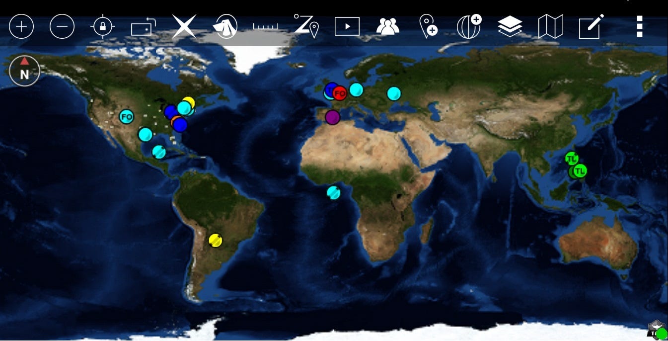
The Android Team Awareness Kit (ATAK), developed by the U.S. Department of Defense, is a sophisticated geospatial mapping application designed to enhance situational awareness for military, law enforcement, and civilian operations. Since its inception, ATAK has evolved into a powerful tool, enabling users to interact with live maps, share data in real-time, and coordinate more effectively in complex scenarios.

History and Evolution of ATAK
ATAK was first conceptualized by the Air Force Research Laboratory (AFRL) in the mid-2000s. Originally developed as a battlefield tool, its primary goal was to provide military personnel with real-time, geospatial information to improve decision-making. By 2010, ATAK had become a reliable asset for tactical operations, offering advanced mapping and communication capabilities on Android devices.
The app's success in military applications spurred further development, leading to its release as a civilian variant (CivTAK) in 2015. The civilian version maintains core geospatial features while excluding sensitive military functions. Over the years, ATAK's open-architecture design has allowed it to expand significantly through plugins and third-party integrations.
Current Uses of ATAK
Military Applications
In military contexts, ATAK is used for tactical situational awareness. It provides real-time data on friendly and enemy positions, facilitates mission planning, and integrates intelligence feeds. Soldiers can:
Monitor live drone video feeds.
Access weather and terrain data.
Mark points of interest or hazards.
Coordinate air and ground assets seamlessly.
ATAK also supports encrypted communication and integration with advanced systems like Blue Force Tracking (BFT), making it an indispensable tool in modern warfare.

Law Enforcement
Law enforcement agencies leverage ATAK for operations requiring precise coordination, such as:
SWAT Missions: Teams use ATAK to share real-time positions, communicate, and mark threats or cleared areas.
Search and Rescue (SAR): Officers coordinate search patterns and relay live updates on the map.
Event Security: ATAK aids in monitoring large-scale events by integrating live feeds and tracking personnel deployment.
Its ability to integrate with body cameras, drones, and other surveillance tools enhances operational efficiency and officer safety.
Civilian and Public Use
The civilian version, CivTAK, is widely used in disaster response, hiking, event planning, and even commercial logistics. CivTAK supports:
Search and Rescue (SAR): Coordinators and volunteers can use it for mapping and communication during natural disasters.
Outdoor Activities: Hikers and explorers rely on CivTAK for route planning, GPS tracking, and hazard identification.
Industrial Operations: Companies use ATAK for mapping pipelines, monitoring infrastructure, and coordinating logistics.
Core Capabilities of ATAK
ATAK’s features make it one of the most versatile geospatial tools available:
Real-Time Mapping: ATAK provides dynamic mapping capabilities with support for offline maps, satellite imagery, and custom overlays.
Location Sharing: Users can share their positions and track others, enabling seamless coordination.
Custom Markers and Annotations: Teams can mark areas of interest, hazards, or objectives with rich annotations.
Secure Communication: Encrypted messaging and voice communications ensure operational security.
Integration with Sensors and Devices: ATAK supports drones, cameras, and various sensors, enabling comprehensive situational awareness.
Route and Mission Planning: Teams can plan routes, set waypoints, and simulate mission scenarios directly within the app.
Plugins and Modular Design: ATAK’s plugin architecture enables additional functionalities tailored to specific use cases.
Key Plugins and Extensions
ATAK’s open architecture supports a variety of plugins that enhance its functionality. Some notable plugins include:
Precision Fires Plugin: Enables precise targeting and coordination of fire missions.
Video Streaming Plugin: Integrates with drones or other cameras to provide live video feeds.
Medical Plugins: Useful for tracking casualties and coordinating medical evacuations.
UAV Integration Plugins: Control unmanned aerial vehicles (UAVs) and monitor their feeds directly through ATAK.
Weather and Terrain Analysis Plugins: Provide detailed environmental data to assist in planning.
CivTAK Extensions: Offer tools for non-military users, such as hiking route planning and civilian SAR operations.
Conclusion
ATAK has redefined situational awareness for military, law enforcement, and civilian users alike. Its ability to provide real-time geospatial information, integrate with various sensors, and support secure communication makes it a versatile and powerful tool. As its capabilities continue to expand through plugins and open-source contributions, ATAK is set to remain at the forefront of geospatial technology, revolutionizing coordination and decision-making across a wide range of fields.